Topographical map tool
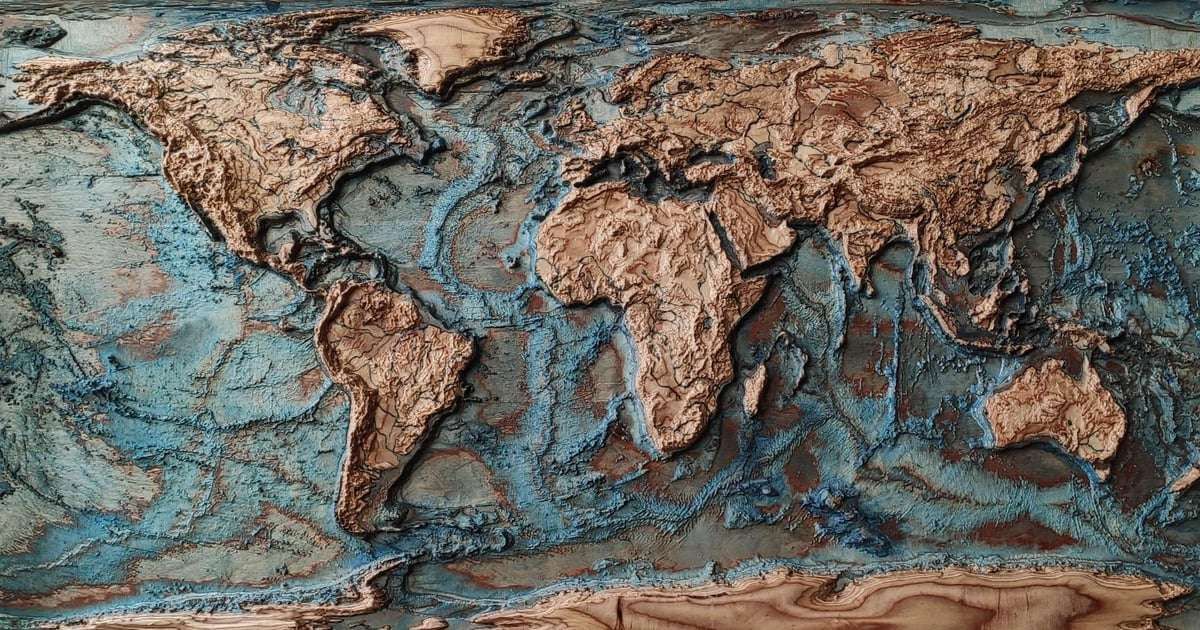
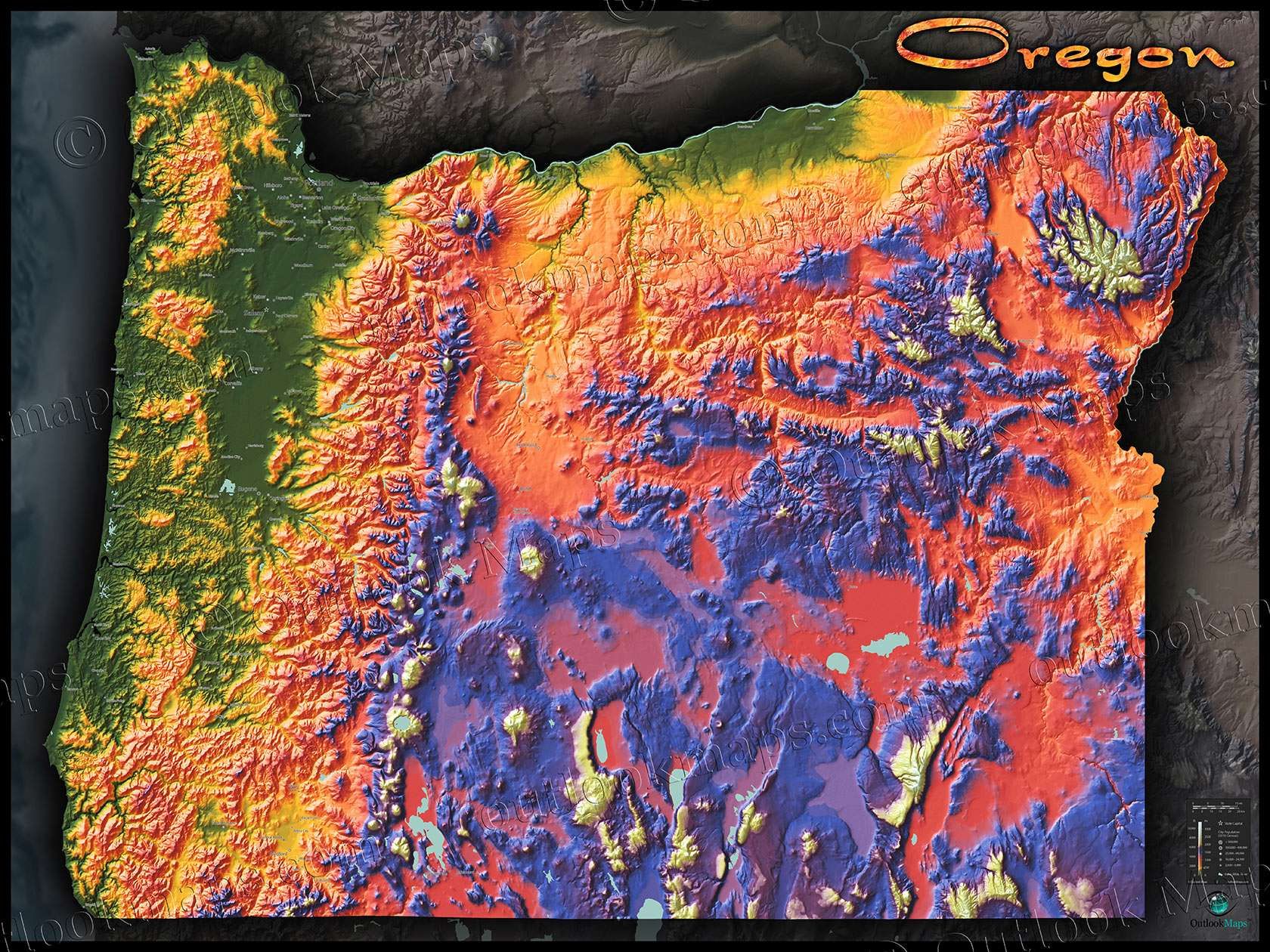
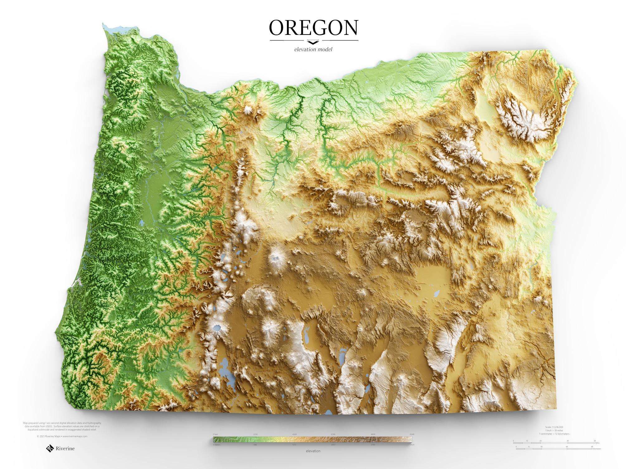
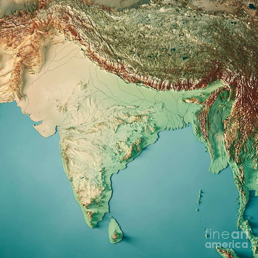
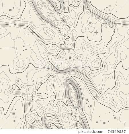
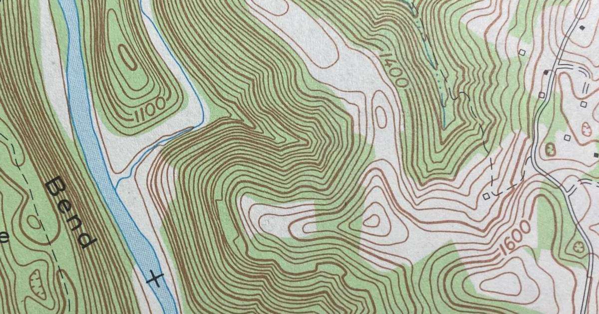
A feature allowing map makers to set altitudes and filters to show the topography in different styles. This could work well enough in 2D and should absolutely be added…
but I would love to see a fully rotatable 3D map maker on Inkarnate someday although I know that's unlikely; A top down 3D topographical map could still be possible.
Not only would a topography map look really cool it would be helpful for figuring out the flow of rivers and roads.
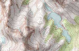
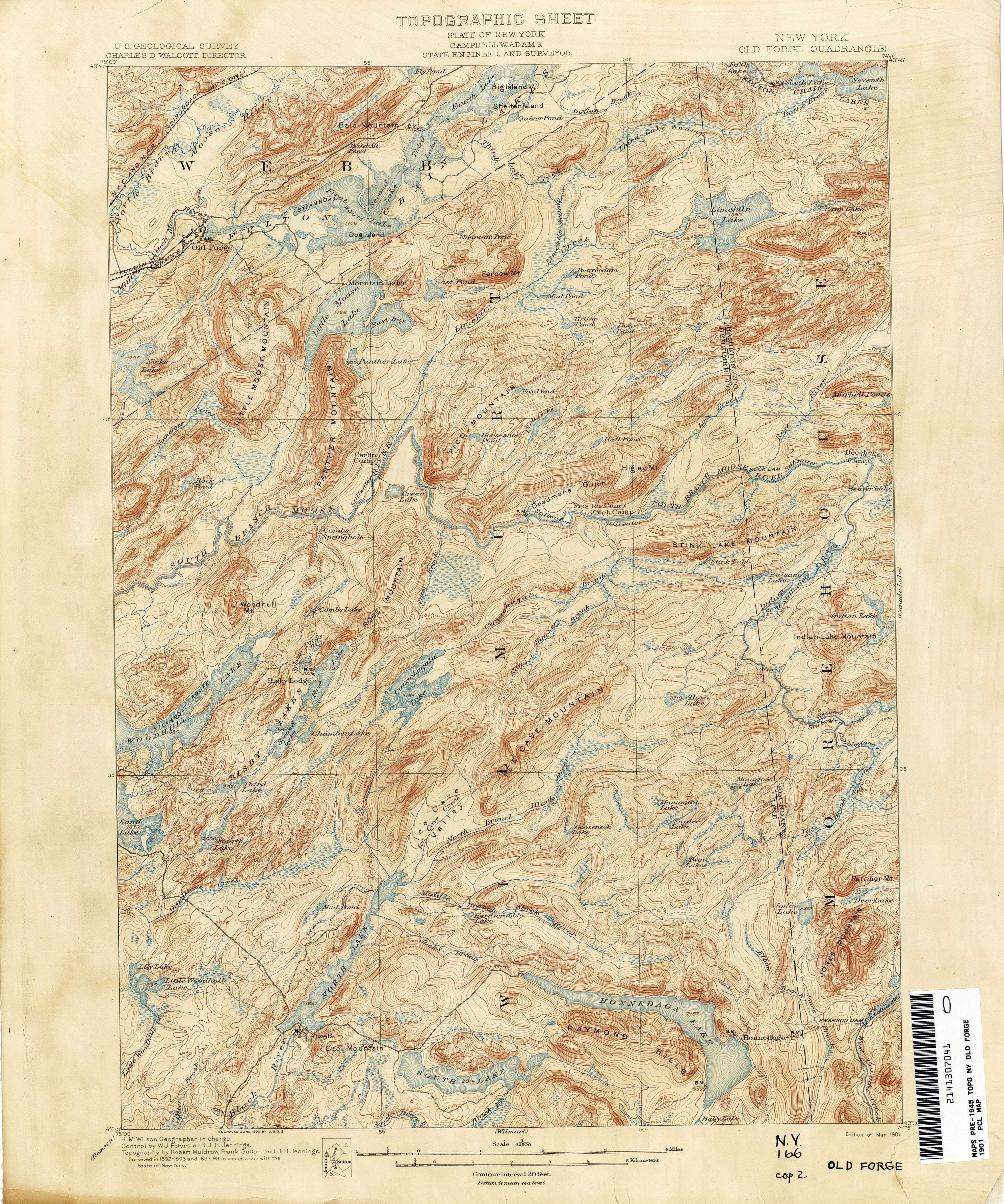
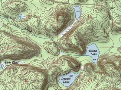
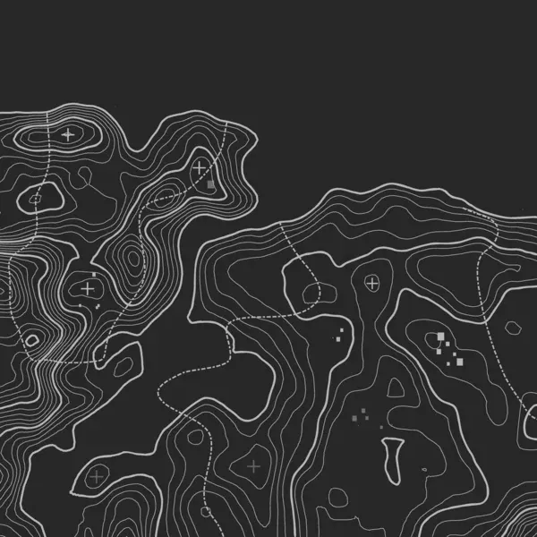
Below are some of the many styles that this could look like for both 2D and 3D top down
- Product Area
- Scene Editor
Log in to comment and vote
Comments3
Anonymous
May 26
I've just started experimenting with changing texture scale to simulate altitude changes. I started with the scale at about 30% and painted a single stripe of grass down the left side of the canvas. I increased the scale 10%, painted a stripe next to that, and repeated. This isn't a great solution, but with a busy texture you can get a sense of moving from a valley to a hill. Adding stamps with gradually increasing scales helped.
A solution, I think, would be a kind of mask layer that applies scale percentages to a gradient. A circle with a small black center fading to a white border should simulate a hill, using a non-solid texture. This could also be tied to stamps, where trees for example would automatically be larger or smaller depending on their placement on the gradient.
Anonymous
May 29, 2025
Would really appreciate this especially for more detailed world maps, especially for importing from places like gaea or another 3D generator.
Apr 5, 2024